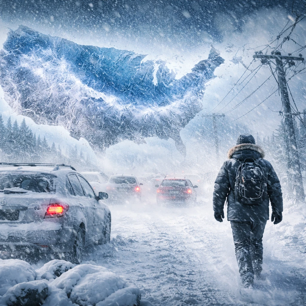

The United States is bracing for an intense and prolonged winter weather event as warm Arctic waters combine with cold continental air to stretch and push the polar vortex deep into the lower 48 states. Forecasts indicate this expanded cold air mass will deliver dangerously low temperatures, heavy snowfall, and ice accumulation starting Friday, with conditions persisting throughout the remainder of January and into early February.
Meteorologists warn that this winter storm may cause substantial disruption comparable in scale to a major hurricane. The National Weather Service estimates that around 230 million residents will encounter temperatures at or below 20 degrees Fahrenheit (-7 degrees Celsius), while approximately 150 million could experience snow and ice, with large swaths receiving both forms of winter precipitation. The affected area extends from New Mexico through the southern states and up into New England.
Ryan Maue, a seasoned meteorologist and former chief scientist at the National Oceanic and Atmospheric Administration, emphasized that the severity of the upcoming cold wave might be underestimated by the public. He highlights that the polar vortex is being distorted into an elongated shape by atmospheric waves originating from abnormally warm Arctic air and snow-laden Siberia. This atmospheric alignment is drawing frigid air masses southward over the US, which will then meet moisture from the Pacific and Gulf of Mexico, setting the stage for debilitating snow and ice across many states.
This unique pattern arises from a warming Arctic environment, where decreases in sea ice are adding energy to the polar vortex. The atmosphere's alignment, favoring a warm Arctic and cold continental landmass, results in persistent and extensive cold conditions not only in North America but extending into Eastern Europe and Siberia, plunging the hemisphere into deep freeze.
Research from MIT scientist Judah Cohen points to early October 2025 as when conditions began forming for this stretched polar vortex, influenced by low Arctic sea ice and heavy Siberian snow cover. These factors contribute to changes in the polar vortex's usually circular shape, increasing the likelihood of severe winter weather outbreaks across the central and eastern United States.
Arctic sea ice levels are currently at historic lows for this time of year according to the National Snow and Ice Data Center. Significantly reduced sea ice in the Barents and Kara seas promotes planetary wave structures that facilitate cold air intrusions to the US, heightening the risk of extreme winter weather.
By Friday morning, the core of this stretched polar vortex is expected to be positioned over Duluth, Minnesota. This will bring exceptionally harsh cold to the Midwest and northern regions, with temperatures plunging to around minus 25 to minus 30 degrees Fahrenheit (-32 to -34 degrees Celsius). The nationwide average low temperature from Saturday through Monday is projected to hover near 11 to 12 degrees Fahrenheit (-12 to -11 degrees Celsius). Notably, Lakes Erie and Ontario might freeze over, potentially moderating lake-effect snowfall in adjacent areas.
National Weather Service meteorologist Zack Taylor predicts that most locations east of the Rocky Mountains will contend with severe cold, snow, or icing conditions. The southern plains through the mid-South and Carolinas are particularly vulnerable to hazardous freezing rain that could lead to widespread ice accumulation. This ice buildup carries the risk of damaging power lines and trees, raising concerns about power outages and infrastructure stress.
Areas not impacted by ice may still face heavy snowfalls, with the Ozarks, Tennessee and Ohio valleys, central Appalachians, the mid-Atlantic, and parts of the Northeast expected to receive significant snow accumulations. There is even the potential for two consecutive blizzard events within roughly two weeks in the mid-Atlantic region near the nation’s capital.
The extended duration of this severe winter pattern, rooted in fundamental atmospheric shifts triggered by Arctic warming, signifies challenges for utilities, transportation networks, and economic sectors sensitive to weather disruptions. Preparations and resilience measures will be crucial as this impactful winter spell unfolds.