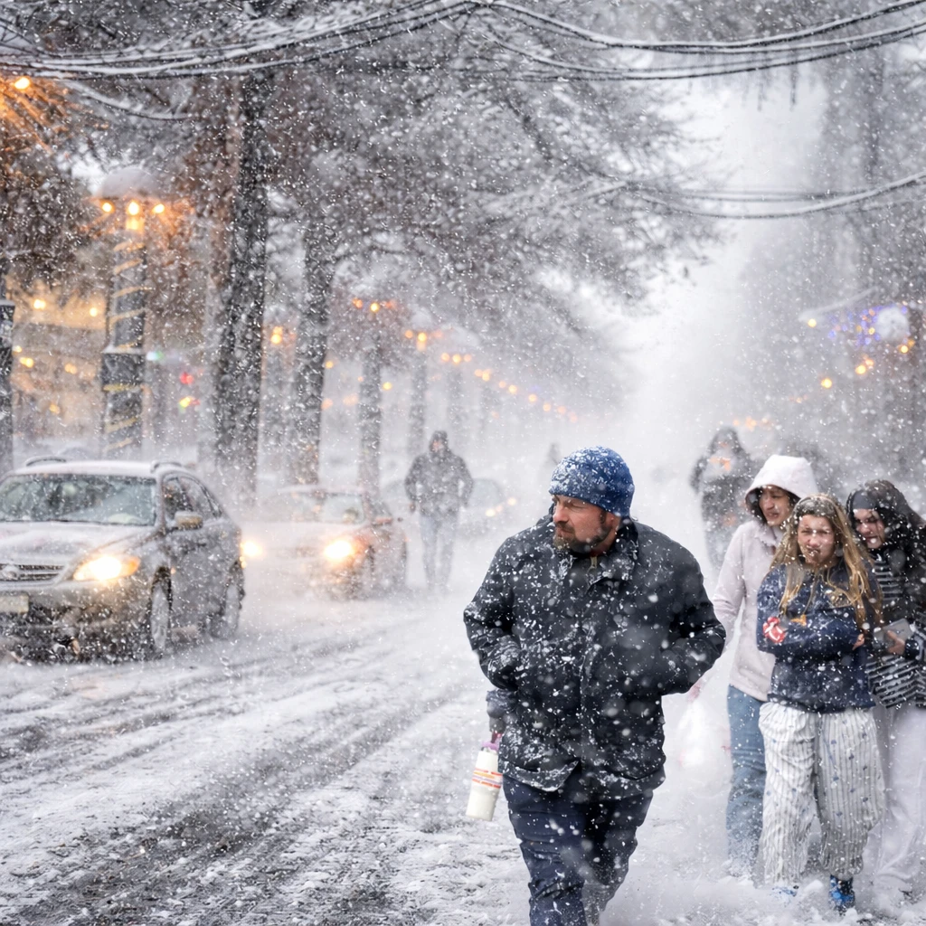
A powerful winter storm impacted the Upper Midwest on Monday, causing blizzard conditions, hazardous travel, and widespread power outages. As the storm system propagated eastward, regions beyond the Midwest faced plummeting temperatures, fierce winds, and a combination of snow, ice, and rain.
The onset of snowfall combined with intensifying winds began on Sunday across the northern Plains. The National Weather Service issued warnings for whiteout and blizzard conditions, cautioning that travel might become untenable in several affected areas. "It is a notably significant weather system even for this part of the country," stated Cody Snell, a meteorologist with the Weather Prediction Center.
The storm's progression, marked by a strong low-pressure system advancing from the Great Lakes into southeastern Canada, brought snowfall to sections of Michigan by Monday. Furthermore, the Great Lakes and New York regions were predicted to encounter potent winds accompanying heavy lake-effect snow, while areas in the Northeast experienced rain intermixed with wintry precipitation.
This system has been categorized as a bomb cyclone due to its rapid intensification as it moved from the Midwest toward the Great Lakes. The intensity of such storms is based on central pressure readings, with lower pressures indicating stronger force. Snell explained that this rapid deepening classifies the storm as remarkable in intensity.
Temperatures in central United States plummeted sharply on Monday, with some areas waking to readings as much as 50 degrees Fahrenheit (28 degrees Celsius) lower than the previous day, according to updates from the Weather Prediction Center. Dangerous wind chills were forecast, particularly in North Dakota and Minnesota, where values could drop as low as minus 30 degrees Fahrenheit (minus 34 degrees Celsius).
Michigan’s Upper Peninsula experienced significant snowfall accumulations, with totals reported between 19 and 24 inches (48 to 61 centimeters). Ryan Metzger, a meteorologist with the National Weather Service, noted that while additional snow was anticipated in subsequent days, it would be lighter and less intense than the initial burst.
The Northeast, particularly parts of northern New York extending into Vermont, New Hampshire, and Maine, faced freezing rain conditions. Such precipitation poses risks to power infrastructure and vegetation, raising concerns among meteorologists.
Meanwhile, the National Weather Service issued advisories for Southern California predicting moderate to strong Santa Ana winds in Los Angeles and Ventura counties continuing through Tuesday. The ground saturation, resulting from recent heavy storms that delivered the wettest Christmas season in years, heightens the likelihood of trees being toppled.
Across the country, power disruptions affected over 350,000 customers as of Monday morning, with approximately one-third of these outages concentrated in Michigan, data from Poweroutage.us indicate. Air travel was also significantly impacted, with more than 3,500 flight delays and upwards of 600 cancellations reported at airports nationwide, as tracked by FlightAware.
The storm’s severity was further illustrated by an EF1 tornado that struck Illinois’ Tazewell County on Sunday morning. This tornado generated estimated peak winds of 98 miles per hour (158 kilometers per hour), leading to destruction of two outbuildings and damage to numerous trees and power poles. Concurrently, the weather service began assessing damage in Macon County following severe thunderstorms that occurred the same day.
In Michigan’s Upper Peninsula, blizzard warnings remained in place Monday morning. Wind gusts were forecast to reach up to 60 miles per hour (96 kilometers per hour) along the southern shore of Lake Superior. Similar blizzard conditions persisted in northern parts of Iowa.
Forecasts indicated a continued threat of 1 to 3 feet (about 30 to 91 centimeters) of lake-effect snow through Thursday, coupled with potent winds up to 75 miles per hour (121 kilometers per hour) in western New York on Monday. Likewise, regions bordering Lake Erie, including parts of Michigan and Ohio, were expected to endure comparable conditions.
In southern states, meteorologists warned of the arrival of a strong cold front accompanied by severe thunderstorms. This front would bring an abrupt end to days of record warmth, introducing a steep temperature decline and vigorous north winds. The chill is projected to last through New Year’s Day.
The intensification of the storm is attributed to the collision of frigid Canadian air descending southward and the unusually warm air masses that have lingered across the southern U.S., as detailed by the National Weather Service.

